
Highlights: The boy stood at the end of the dock like an apparition from Huckleberry Finn or Tom Sawyer. He held a fishing rod in his hand and started chattering about his favorite bait and the fish he’d caught as soon as we kayaked into sight. It was the perfect end to our day on the Black River from Clark Bridge to Tower Pond.
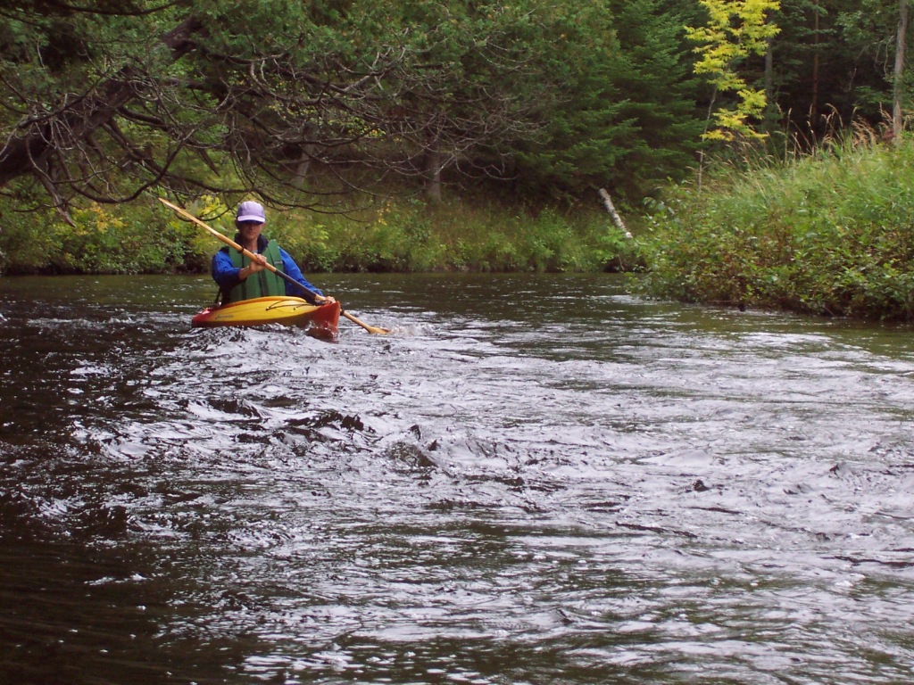
Alone on the river and passing very few homes, we’d paddled along at a mostly sedate pace with only a handful of light rapids above and below Crocket Bridge and between CR 638 and the Black River Road crossing. A bald eagle joined us for part of the excursion, flying ahead, then waiting on a branch for us to catch up.
Unmaintained, the river drifts in and out of forest and past long stretches of open meadows. Debris and deadfall are common but usually don’t require portaging. As is true with so many northeastern Michigan rivers, it’s an experience that feels far removed from the 21st century, making the Huck Finn greeting party a memory to be savored for a long time.
Distance: Bike: About 14 miles. Paddle: About 18-20 miles but, with numerous access sites, it’s easy to create alternate trips. Two of our favorite shorter paddles are from Crocket Bridge, just off a two-track paralleling the river, to Milligan Road and County Road 638 to Tower Pond.
Difficulty: Biking: Mostly easy on paved and dirt roads, becoming sandy and rutted toward the end of the ride. Kayaking: Some riffles and rapids but suitable for all kayaking levels.

Location: With excellent parking at Tower Pond, this biyaking trip is best done with the biking first and the kayaking last. Drop your boats off at the Clark Bridge Access Site and continue to the Tower Pond Park, just off Black River Avenue and Orpha Street in Tower. These locations are easily located with GPS or any print/online maps.
Route finding: Biking: Cycle east on M-68 for a short distance then turn south onto Black River Road. Stay with Black River Road as it rolls through the countryside. After about 11 miles, it will turn into Clark Bridge Road. Another option for mountain bikers is to pick up the High Country Pathway near Crocket Bridge and then cycle north on wide-shouldered, quiet M-33, making your way to Black River Road on Milligan Highway. Kayaking: During high water, navigation can become confusing between Crocket Bridge and Milligan Road when the river spreads out across the forest.
Websites and maps: Click here for a PDF map, and here for a list of access sites from the Upper Black River Council.
